
Vesterålen
Trading harbour between Lofoten and the open north
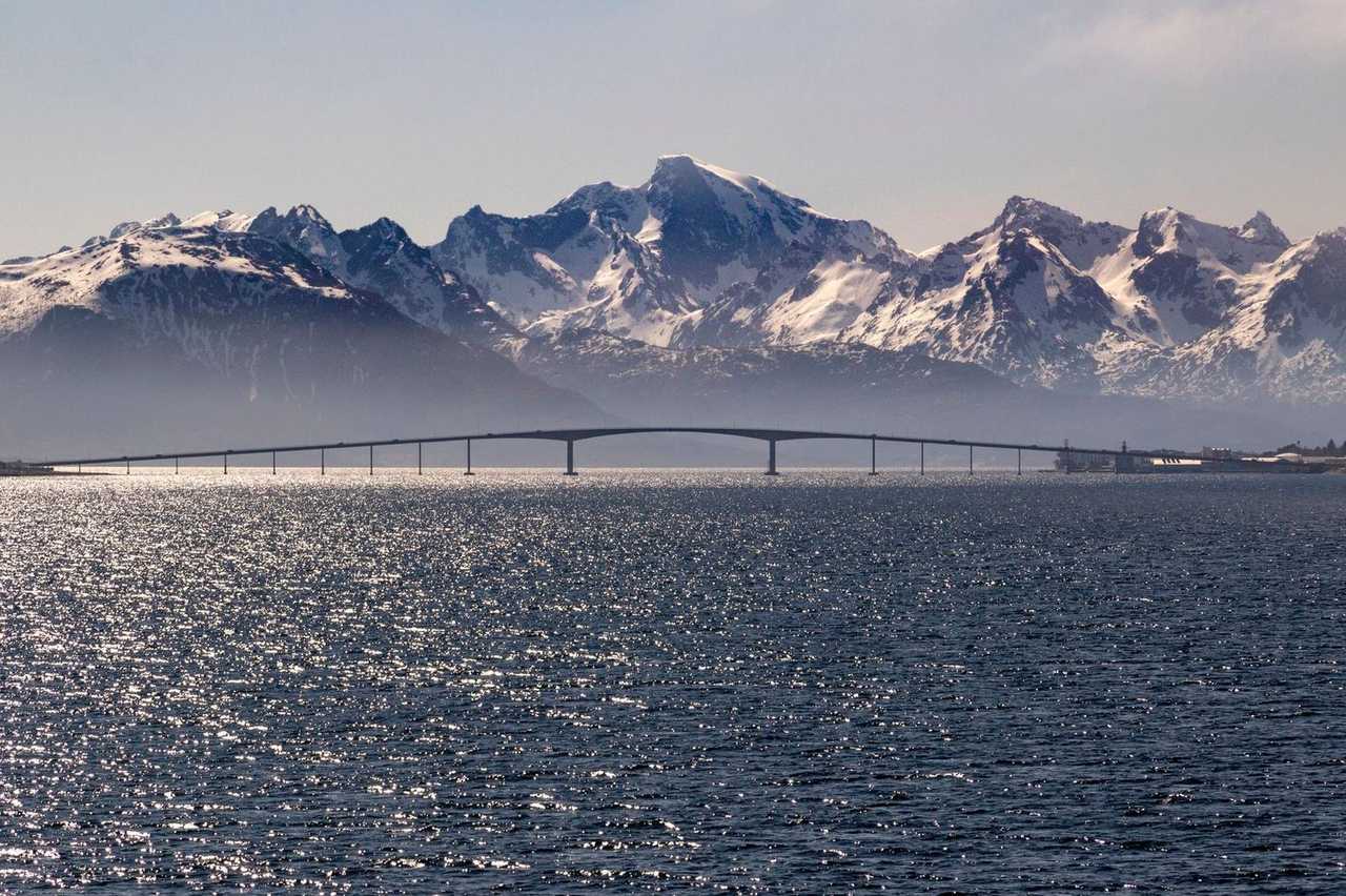
Sortland grew as a trading and administrative centre for Vesterålen, the island group north of Lofoten. Painted timber houses and a working harbour still define the townscape. Sortland’s role as Vesterålen’s administrative and trading hub explains the compact harbour grid and the bridge that stitches islands across Sortlandsundet under shifting Arctic light.
The Sortland Bridge ties the settlement into a road network of fishing villages, bird cliffs and open coastal stretches. Cruise days use that network rather than a single monument. Fishing, ferry links and later tourism put the town on Hurtigruten and cruise sheets, yet the scenery that sells the call lives on the coastal roads rather than in a single waterfront block.
Compared with Reine or Henningsvær, Sortland is practical first. The reward is space, light and one well-chosen loop — not a checklist of famous Lofoten frames. A honest day is blue-town walking plus one chosen loop or viewpoint; guests who add a full island circuit after lunch usually meet weather and the clock at the same moment. Sortland’s role as Vesterålen’s administrative and trading hub explains the compact harbour grid and the bridge that stitches islands across Sortlandsundet under shifting Arctic light.
One Vesterålen loop. Lofoten is a different archipelago and a longer clock.

Ashore
Town, bridge, or island road
- 01
Walk the blue-town waterfront
Harbour edge and centre streets from the berth. Sensible opening move before any road outing. The painted harbour front and bridge views across Sortlandsundet are the easy win from the berth — walk them before trying to add a long drive.
- 02
Cross for Sortland Bridge views
Sound and mountain outlooks from the bridge approaches. Short, local and weather-dependent. Cross on foot or by short hop for the classic bridge-and-sound frame; wind can make the open span unpleasant without layers.
- 03
Drive one Vesterålen coastal loop
Fishing village, bird cliff or open shore by taxi or coach. Choose a single radius; do not add a full Lofoten day from here. One Vesterålen coastal loop with a fixed turnaround beats a vague ‘see everything’ drive when cloud sits on the ridges.
- 04
Stay local on a short or wet call
Town and café when wind or hours are tight. Vesterålen rewards patience more than distance. Wet or short calls belong in town cafés and the harbour edge — the drama can wait for clearer light. Wet or short calls belong in town cafés and the harbour edge — the drama can wait for clearer light.
- 05
Sortland Museum if weather locks the coast
Local history indoors fills a useful hour when rain owns the Vesterålen roads. Pair it with the blue-town walk rather than treating it as a third major stop after a long drive. Check opening hours against your gangway time.
- 06
Short sound-edge photo walk at golden hour
When the ship sits into evening light, the Sortlandsundet shore and bridge silhouettes repay a slow second lap. Keep it close to town so the return stays trivial. Windproof layers matter more than another café stop.
- 07
Vesterålen coast — leave Lofoten for its own berth
Lofoten’s peaks belong to a different island chain with real transfer hours. Vesterålen’s own coast is the honest outing from this berth. Protect all-aboard rather than chasing a brochure name across the water. Stay with Sortland’s harbour and one local arc.
Keep these
What's worth doing
Blue City wall art
Painted façades and murals that give Sortland its nickname.
Hurtigruten quay edge
Working coastal-steamer face of the harbour for ship-watchers.
Gullesfjorden viewpoint road
One chosen fjord pull-off on a clear loop — not a full circuit.
Local seafood lunch stop
Harbour-side meal as the calm centre of a short call.
Before you sail
Harbour walk, weather, one loop
- Town is walkable from the harbour; outer Vesterålen needs a vehicle and return buffer. Arctic weather flips quickly — waterproofs and a warm mid-layer beat fashion jackets on the bridge.
- Wind and rain are normal — waterproof layers beat fashion on bridge decks. Hire-car hours and fuel stops need booking buffer; do not assume empty pumps late in the day.
- Do not treat Sortland as a shortcut to southern Lofoten on a standard day call. Midnight-sun or winter-dark timing changes photography plans more than any museum schedule.
Who calls
Ships that stop at Sortland
Tap a ship to compare UK cruise-only prices for that vessel in the months it calls here.